R&D Projects
R&D
Pro
jects

SensOFOREST (2024-2026)
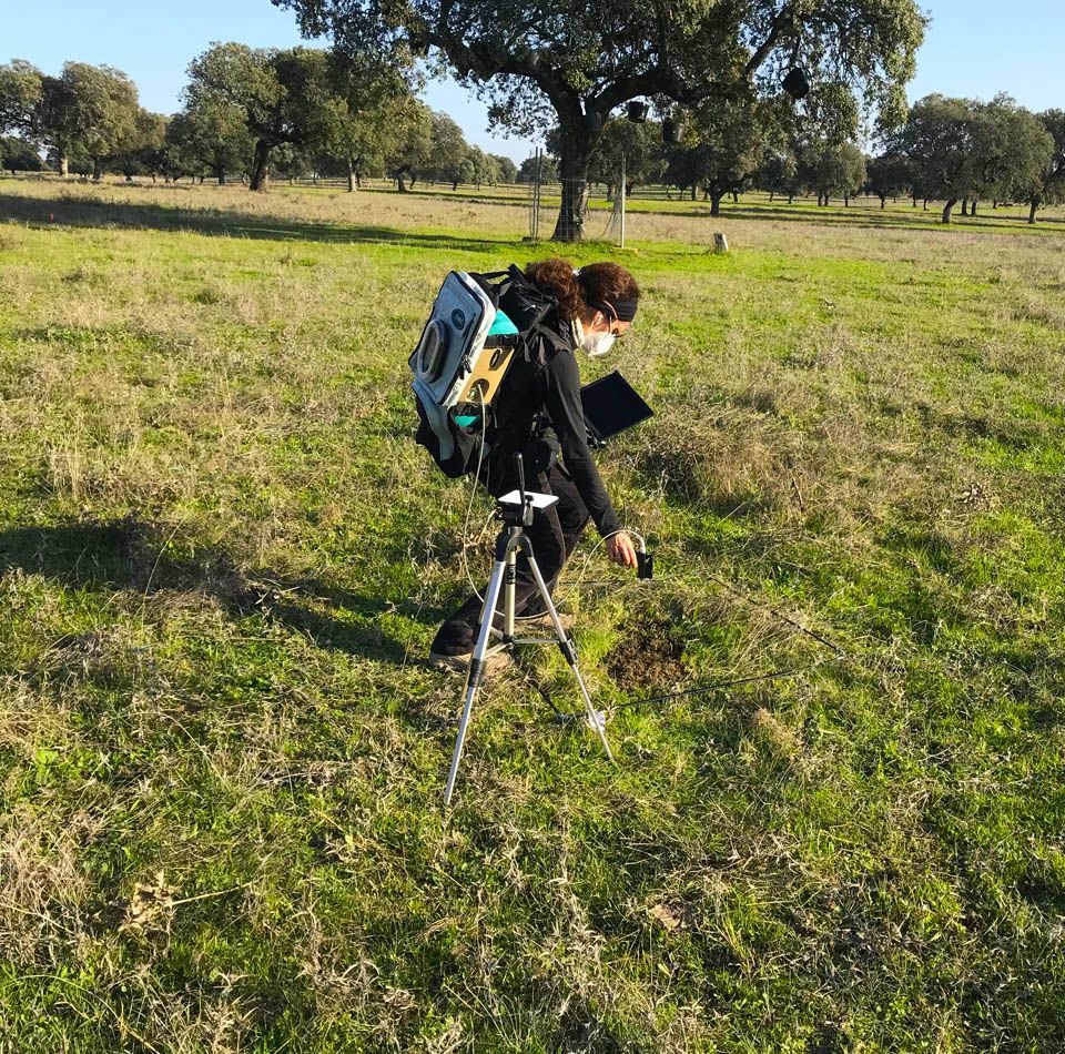
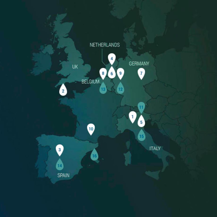
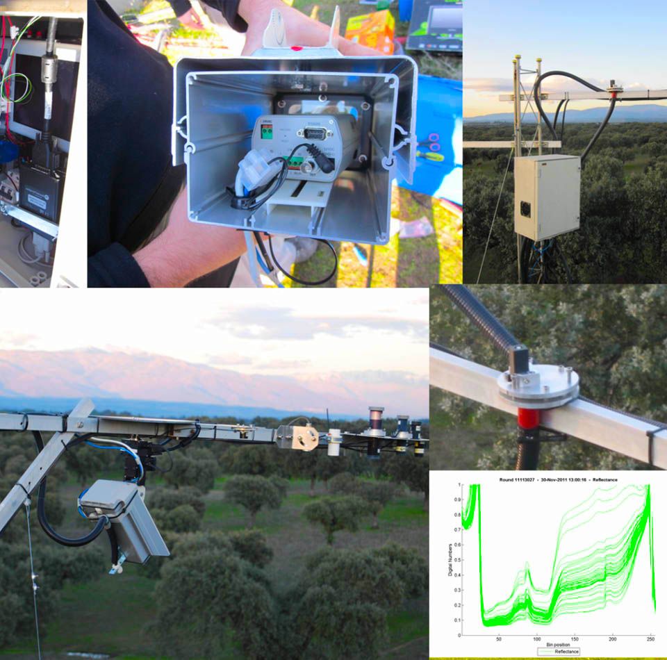
The SensOFOREST proposal aims to contribute to the FORWARDS network of pilot sites by developing a comprehensive integrated system based on the combined use of ground sensors and multi-scale and multi-sensor proximal and remote sensing. Three sites representative of typical Mediterranean Quercus ilex open forest, including a well-established high-profile long-term monitoring site, have been selected to contribute, in an optimal way, to the FORWARDS network. The three call foci are covered by the proposal including:
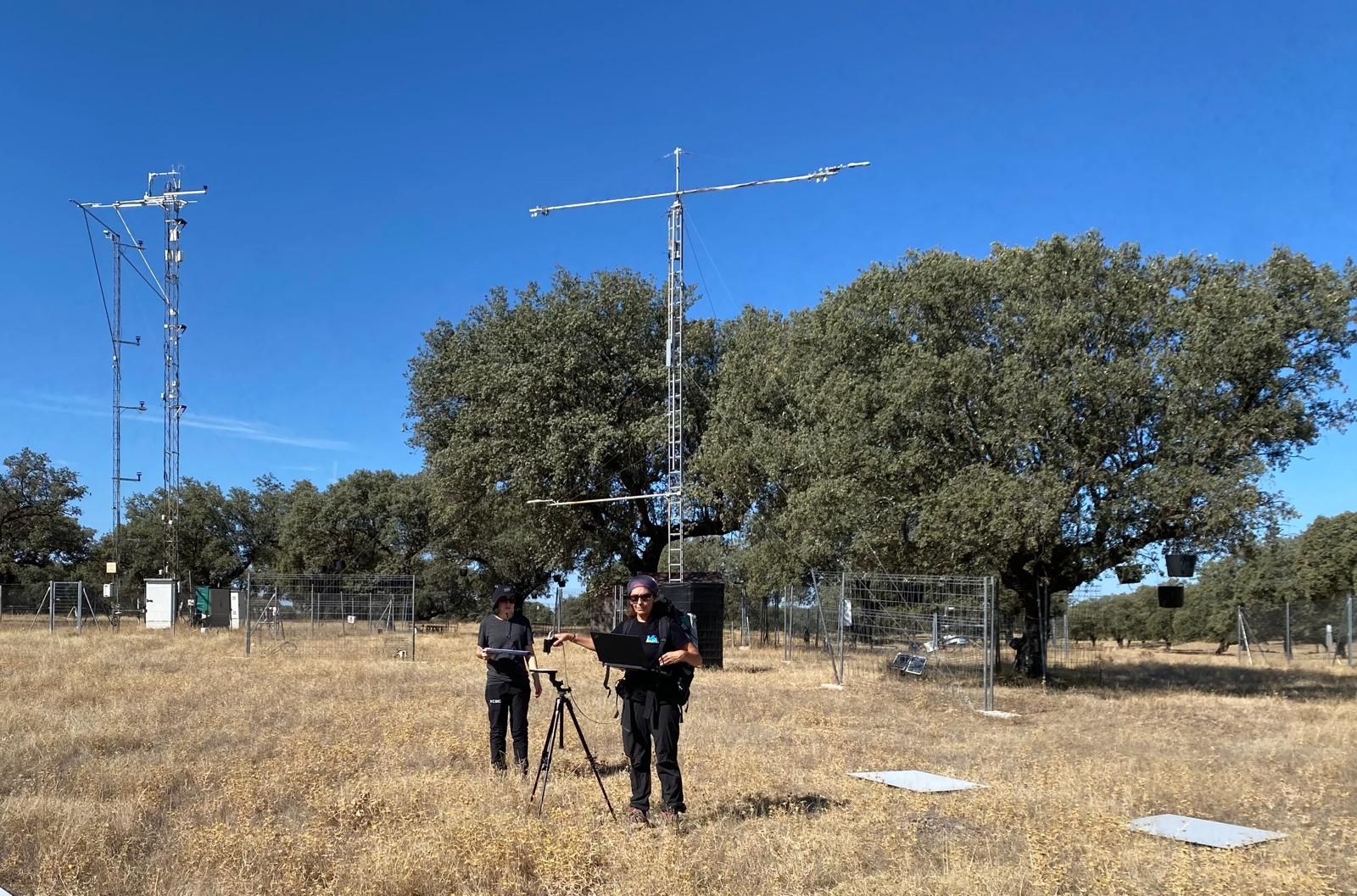
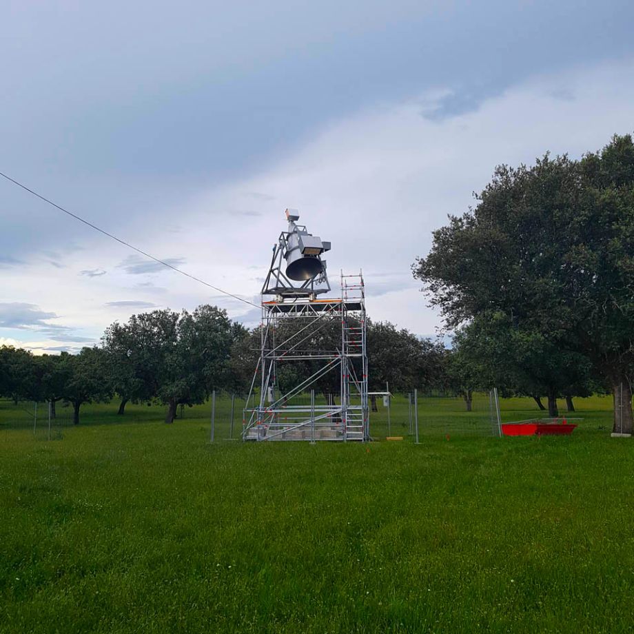
(1) the implementation, in two sites, of point dendrometers and soil water potential sensors following the TreeNet Network recommended standards in terms of instrumentation and data management. These sites will then provide the full suite of measurements by the linking methods concept and qualify as supersites to contribute to the pilot FORWARDS network for stress nowcasting.
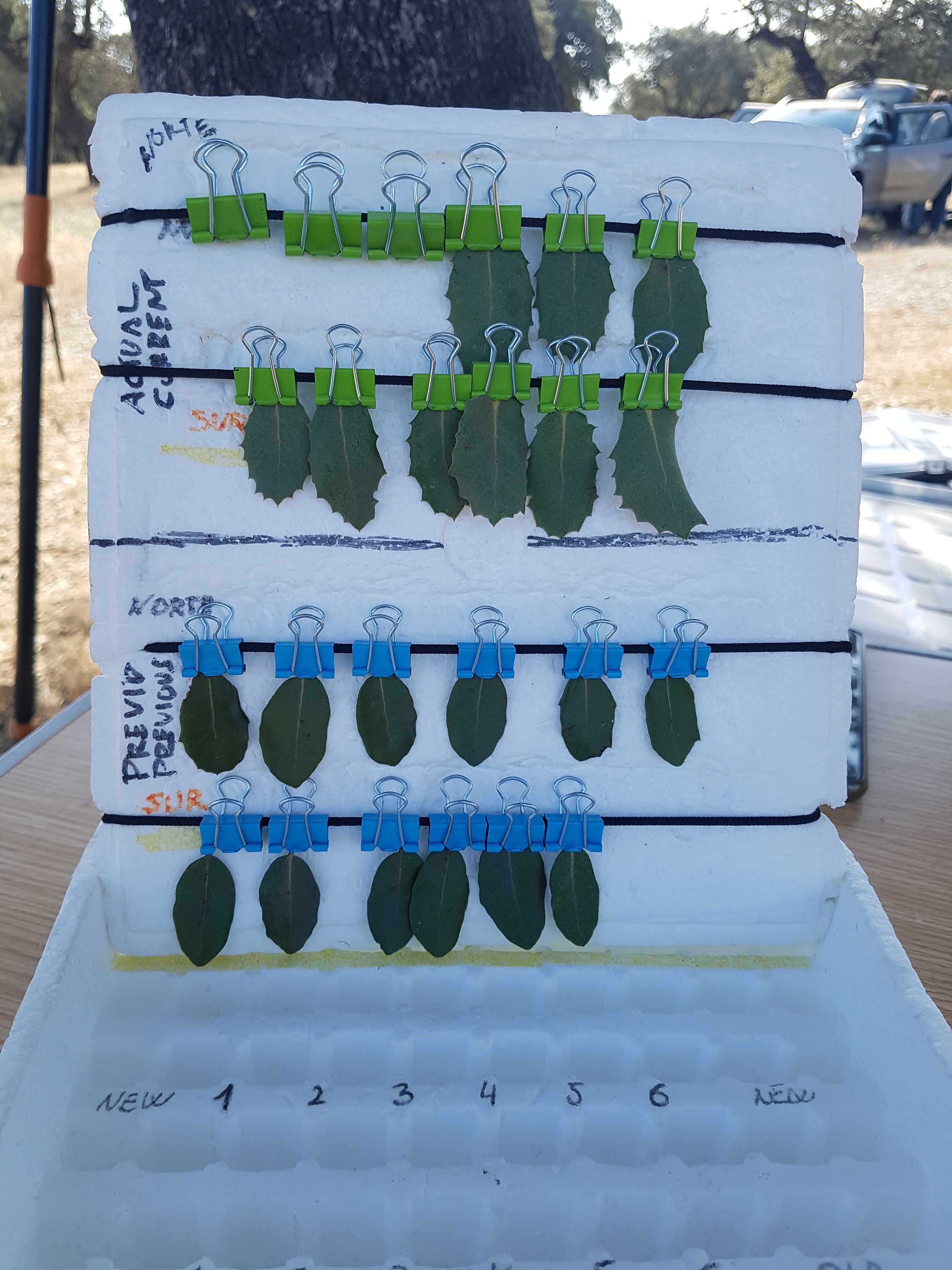
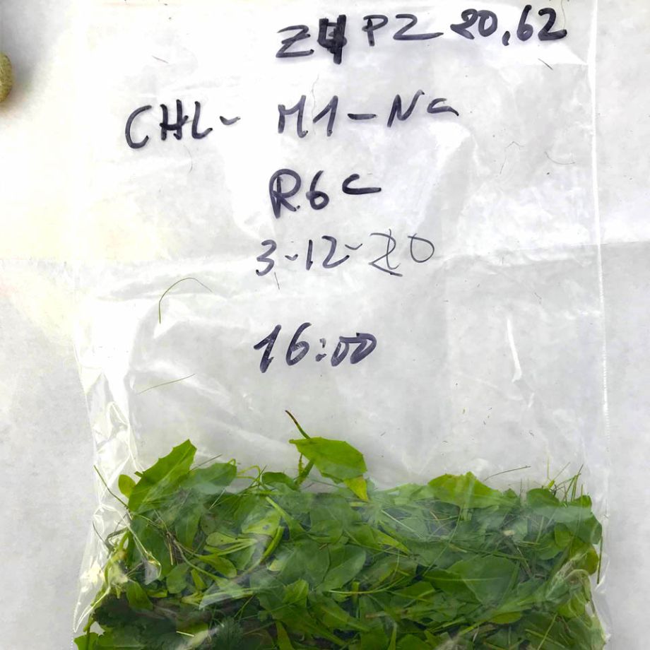
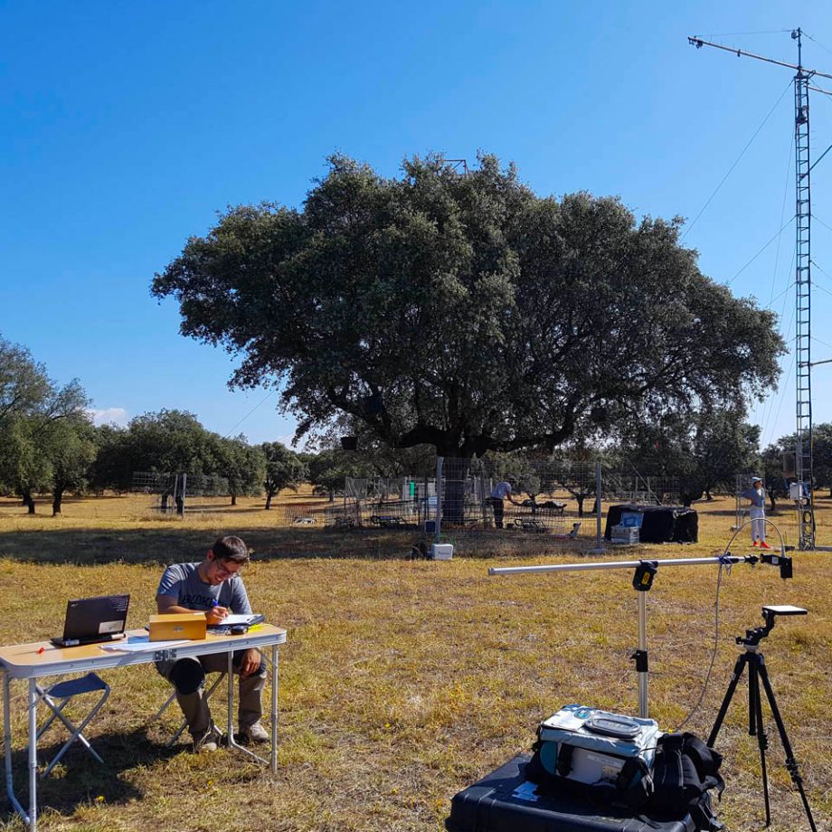
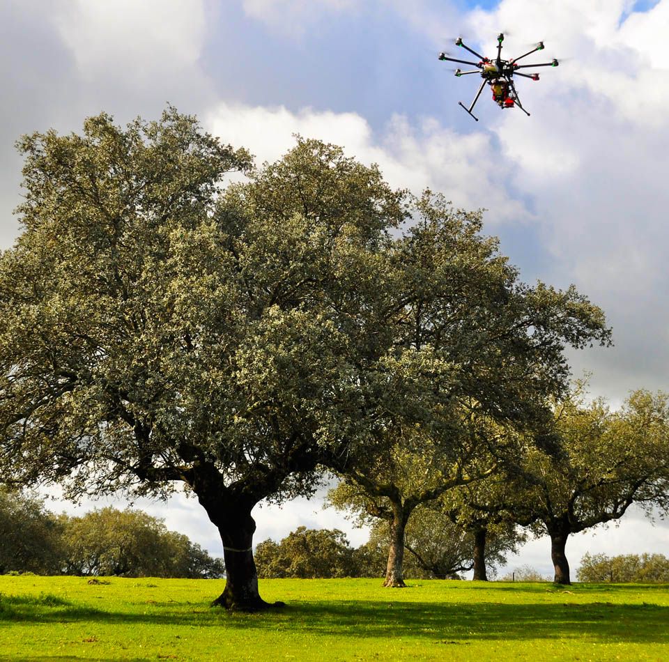
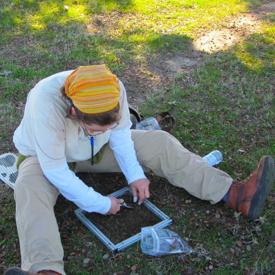
(2) linking ground measurements, airborne and satellite systems to monitor open forest. Hyperspectral and thermal flights, compatible with call requirements, will be undertaken in the 3 study sites. Simultaneous foliar and canopy sampling including spectral and biochemistry as well as additional information (leaf area index, crown defoliation assessment) will be performed. An integrated database of multilayer optical and functional traits will be produced that will allow us to derive, through empirical and radiative transfer models, tree functional traits linked with forest status.
(3) gaining information on carbon stocks and stand structure by performing both terrestrial laser scanning and UAV-LIDAR measurements at the 3 selected sites. Carbon stock and sequestration rate will also be estimated.

DiverSpec-TGA (2020-2023)
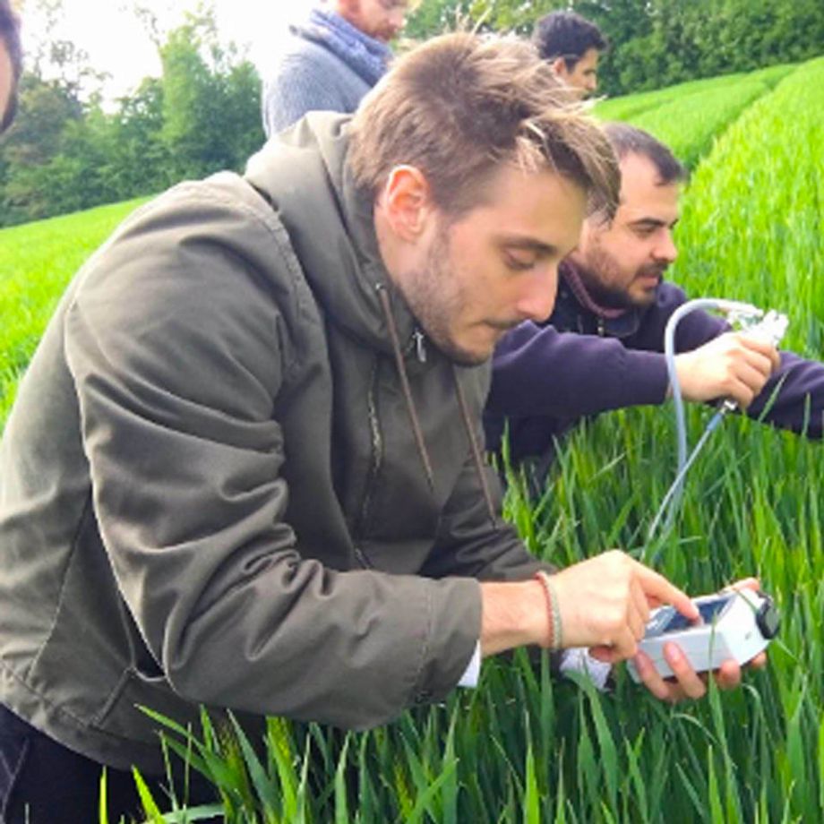
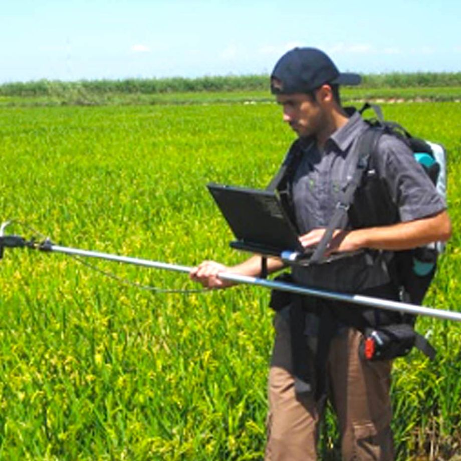
Monitoring tree-grass agroforestry systems (TGA) either through in situ field observation or remote sensing, requires compilation of data on the biochemical and structural characteristics of the (one/two) vegetation layers composing these ecosystems in order to derive reliable information about relevant management indicators such as biomass, quality, phenological stage, productivity, species composition, etc. A full integration of space-sensed spectral information with ground observations, and the generation of accurate predictive models has not been yet successfully achieved in drought-prone ecosystems with complex vegetation structure, large fractions of senescent material and high biodiversity, such as most of Mediterranean TGA. Some methodological questions still require attention and further investigation as for example: 1) how field measurements should be properly used to calibrate and validate models based on optical data, and 2) how to properly use remote sensing sources at different scales (from local to regional and global) to insure accuracy and further applicability of the models.
DiverSpec-TGA will demonstrate that proximal and remote sensors can provide key information, normally unavailable, on functional diversity, biomass growth rate, forage quality and regulatory properties (such as abiotic stresses). This information can assist management decisions and public policies to improve productivity and grassland management and reduce environmental risks at local, regional and national scales. DiverSpec-TGA has the potential to improve parameterization of biophysical processes of vegetation in ecosystem models beyond typical vegetation indices with the availability of meaningful estimations available at significant spatial and temporal scales over TGA ecosytems.

TRUSTEE (2016-2020)

SynerTGE (2016-2019)

Fluxpec (2013-2015)
 Español (España)
  English (United Kingdom)